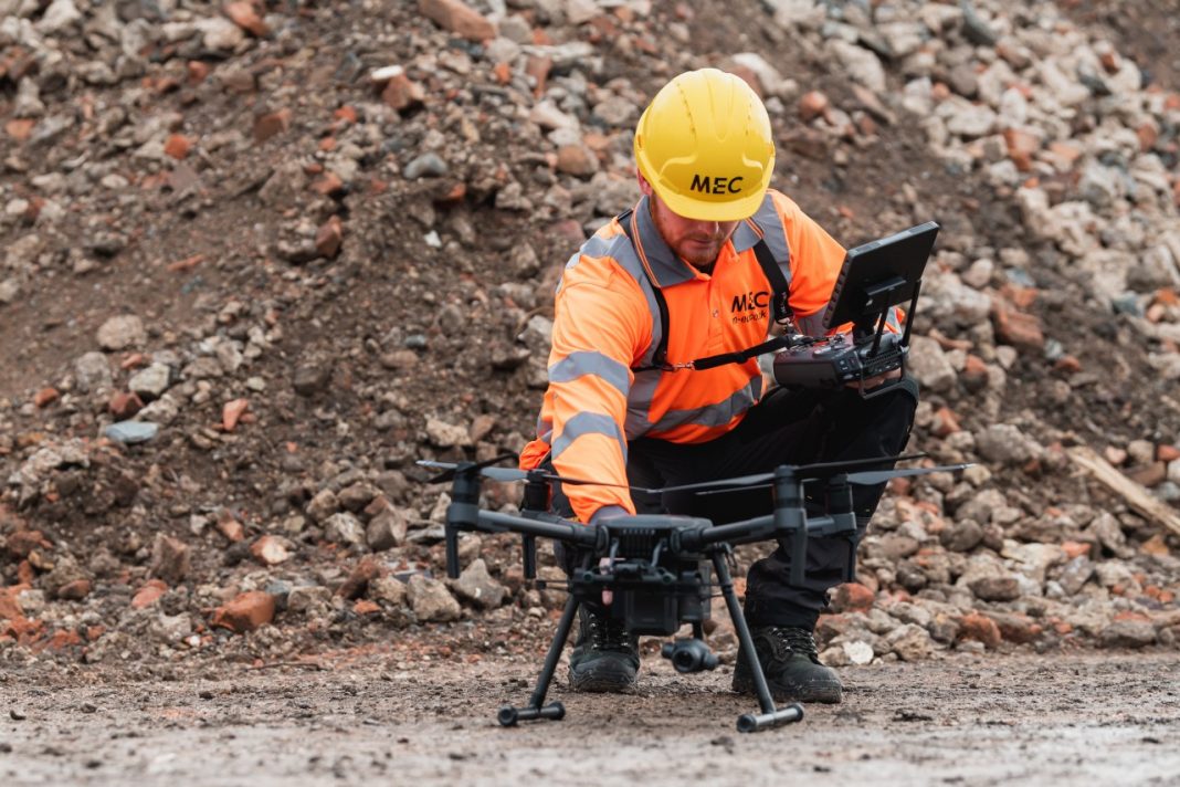
Due to continued client demand, M-EC has strengthened its geomatics department by adding two new staff members and investing in industry-leading surveying equipment.
The hires start with Gareth Smithies, who has joined M-EC as assistant land surveyor. Gareth has recently completed training to become M-EC’s dedicated drone pilot, as part of his role will be to carry out aerial land surveying across M-EC’s geomatics projects.
The second hire is the addition of a survey manager who is due to join the M-EC team in June 2022. This role will enhance the delivery and accuracy of client projects, overseeing all surveys carried out by M-EC’s geomatics team and supporting the department’s growth.
M-EC has also become one of the first in the UK to take delivery of two state of the art pieces of surveying equipment – the GeoMax Zenith 60 units and a GeoMax Zoom95 R 5’’ total station.
The Geomax equipment has been supplied by Survey Hire UK and will be used by M-EC’s geomatics division on a range of projects, including those for some of the UK’s largest housebuilders and large scale infrastructure projects, such as Anglian Water’s current 500km long stretch of pipeline that runs along the east of England.
The calibration-free tilt GNSS offered by the GeoMax Zenith 60 smart antenna delivers full tilt compensation for hard to reach detail points in site surveys and assessments. The GNSS receiver’s tilt capability lets engineers measure inaccessible points and speed up the survey process as time spent levelling the pole is no longer needed. Also, it is resistant to electromagnetic fields, so provides accurate and reliable data.
Alex Bennett, director at M-EC, says: “We have seen continued growth in demand for our geomatics expertise so have taken the decision to invest in the department with staff and equipment to ensure we continue to deliver the highest standards for our expanding client base.
“The new technology in the hands of our experts will be instrumental in helping to deliver accurate reports efficiently, speeding up the process for our clients. What used to take several minutes can now be done in a few seconds, and this will make a real difference to our nationwide geomatics and site survey capabilities.”


